
The Slow road to Deadhorse
A VISUAL COMPANION
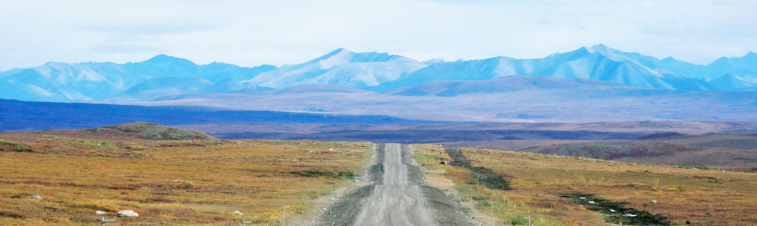
The Dalton Highway, Alaska
155 miles from Deadhorse
I never intended to include photographs in The Slow Road to Deadhorse, in part because I’m a lousy photographer, but moreover I wanted it to be a travel book in the traditional word-only style made popular by Steinbeck, Theroux, Bryson et al.
I would have liked to have included a map, but the distances covered made it impractical to print a map of any value on a page so small.
But the joys of the modern world means I can share the maps I used and a few amateur photos on this visual companion page. If you’ve already read the book, these may allow you to compare some of the sights you painted in your mind with those I saw with my eyes and attempted to reconvey to you. If you’re yet to read the book, either look away now if you’re a reading purist, or scan below to see a few tidbits of what lies ahead.
Enjoy the ride!
James Anthony
Click map to expand.
Chapter 2:
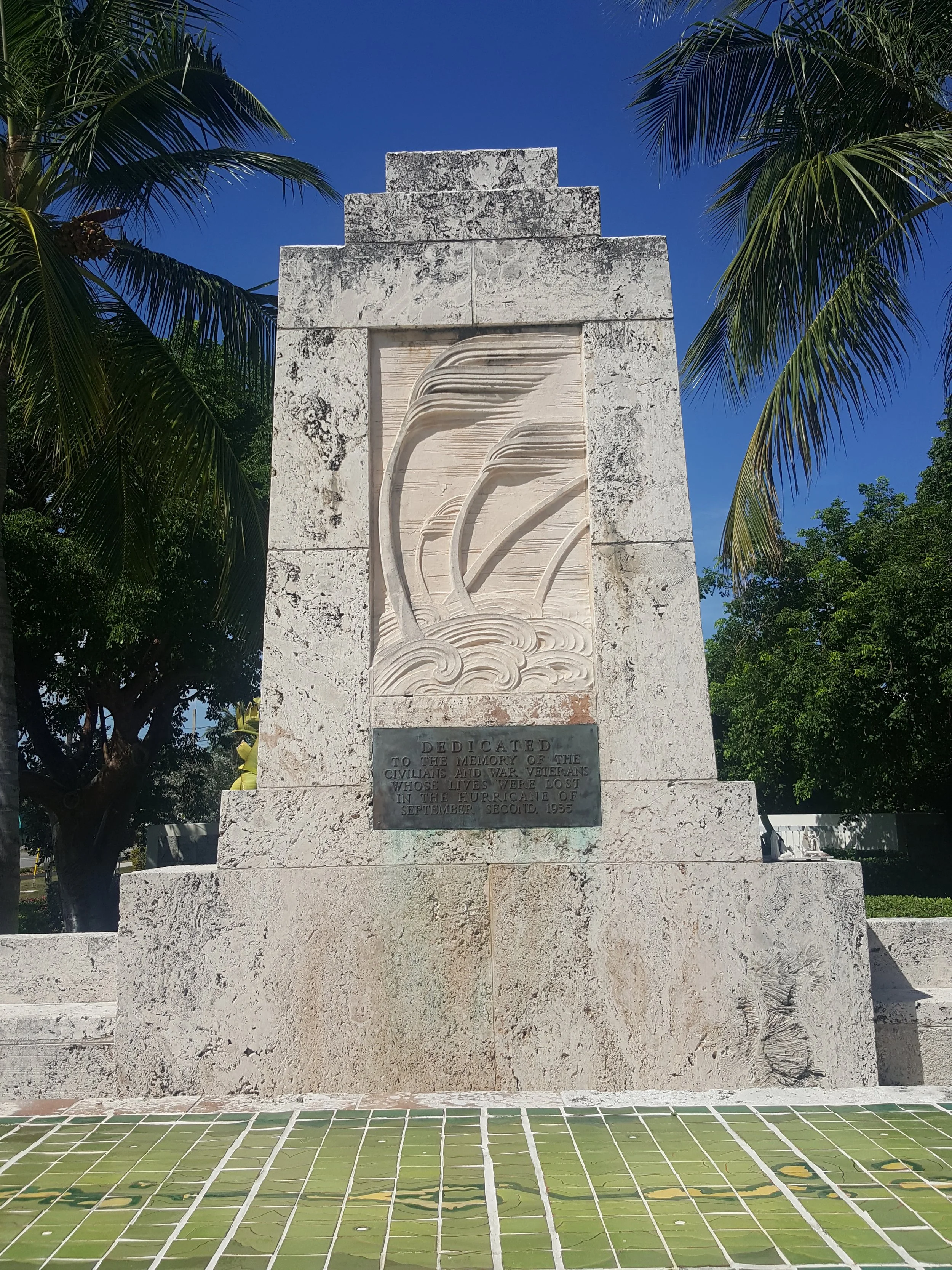
My Alternative Florida
Click the map to scan and expand the route in Google Maps:

Click the images to read lines in the book they refer to. (If you’re viewing on a mobile or tablet, click an image then click the white dot at the bottom right of the screen to view the corresponding text.)


Chapter 3:
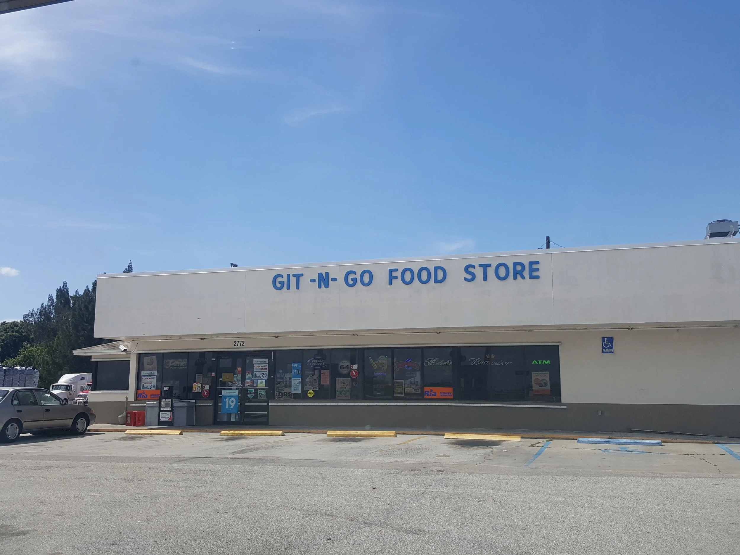
Deep South
Click the map to scan and expand the route in Google Maps:

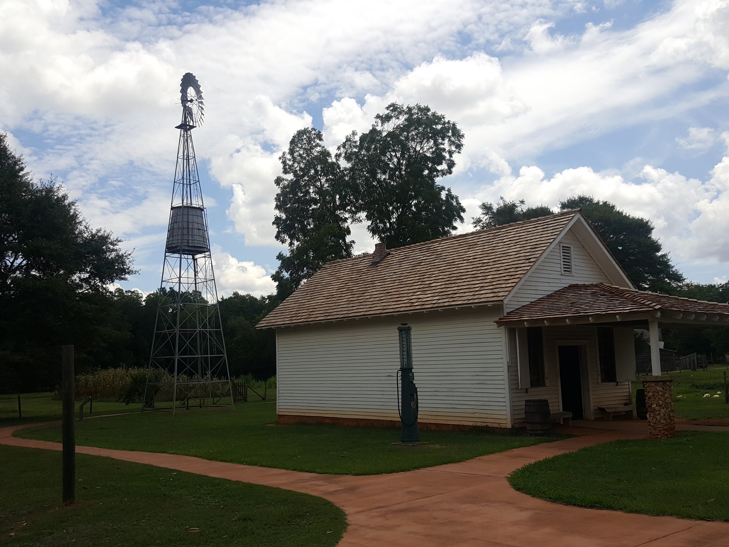
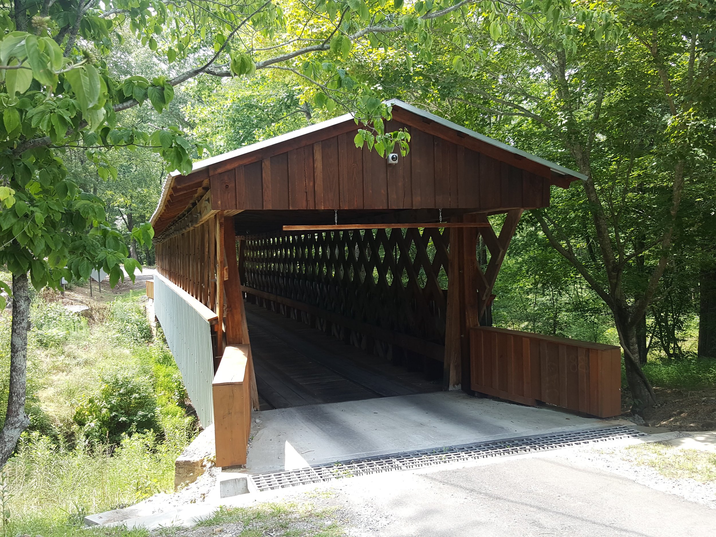
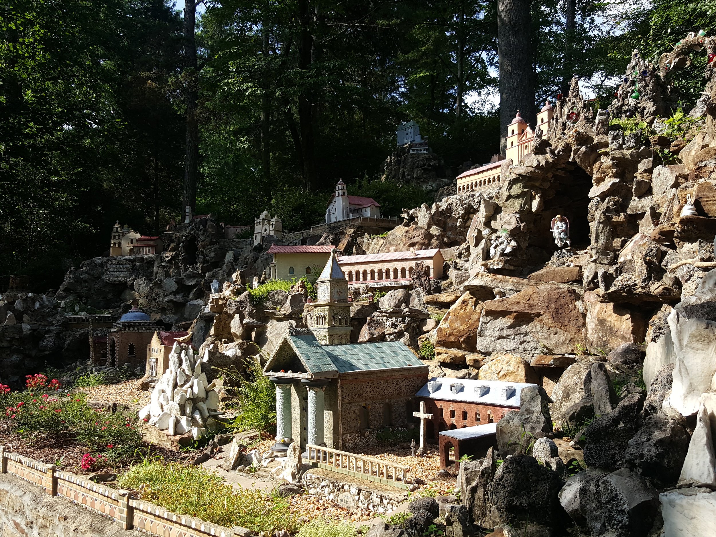
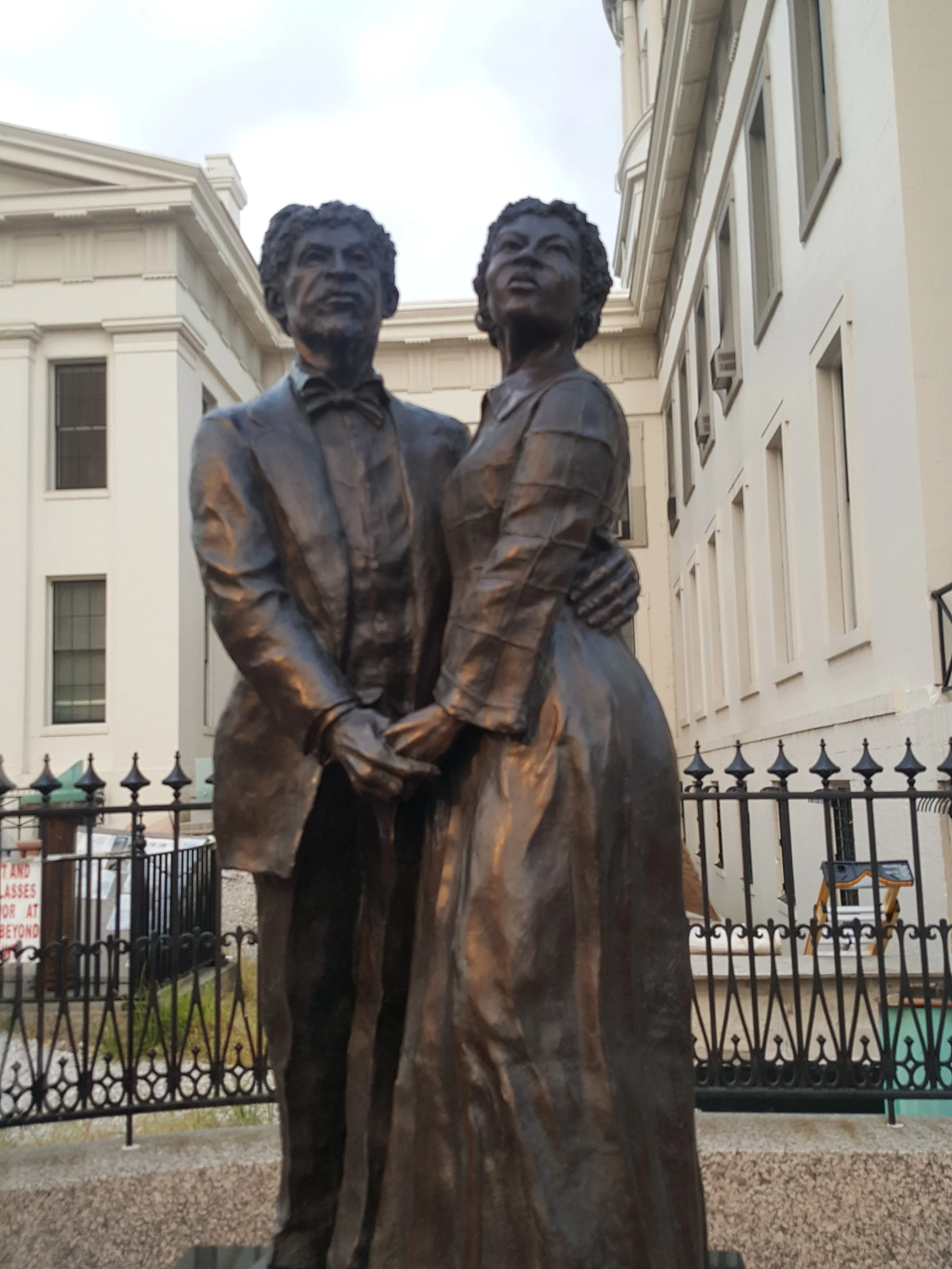
Click the images to read lines in the book they refer to. (If you’re viewing on a mobile or tablet, click an image then click the white dot at the bottom right of the screen to view the corresponding text.)


Chapter 4:
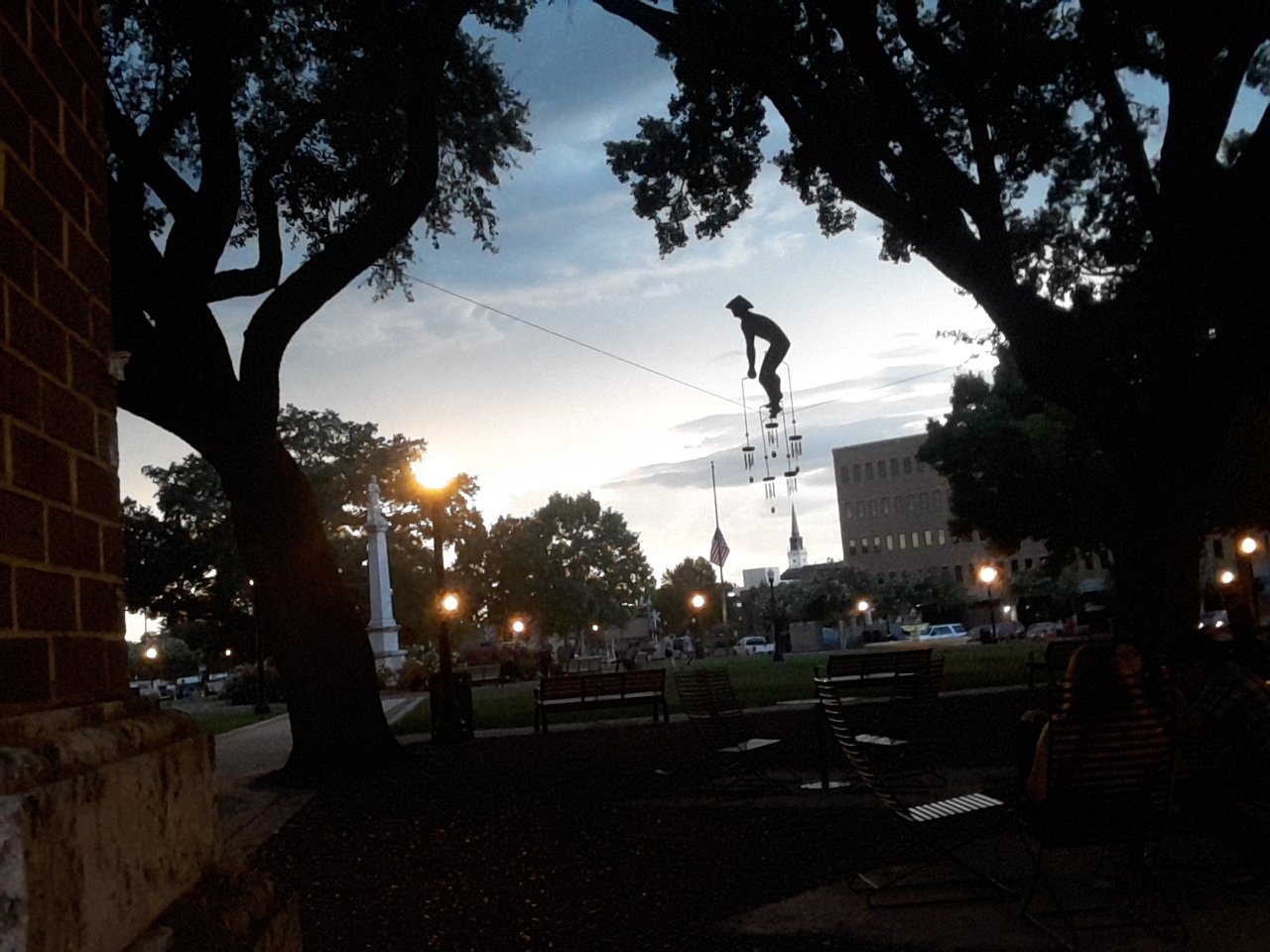
Meandering the Mississippi
Click the map to scan and expand the route in Google Maps:

Click the images to read lines in the book they refer to. (If you’re viewing on a mobile or tablet, click an image then click the white dot at the bottom right of the screen to view the corresponding text.)


Chapter 5:
The Great Plains & Prairies
Click the map to scan and expand the route in Google Maps:

Click the images to read lines in the book they refer to. (If you’re viewing on a mobile or tablet, click an image then click the white dot at the bottom right of the screen to view the corresponding text.)


Chapter 6:
Untold wilderness of the great far north
Click the map to scan and expand the route in Google Maps:

Click the images to read lines in the book they refer to. (If you’re viewing on a mobile or tablet, click an image then click the white dot at the bottom right of the screen to view the corresponding text.)


